From Walkhampton we took the very, very narrow lane that goes up to the moor past Walkhampton church and started the walk at the top. Up to the railway track.
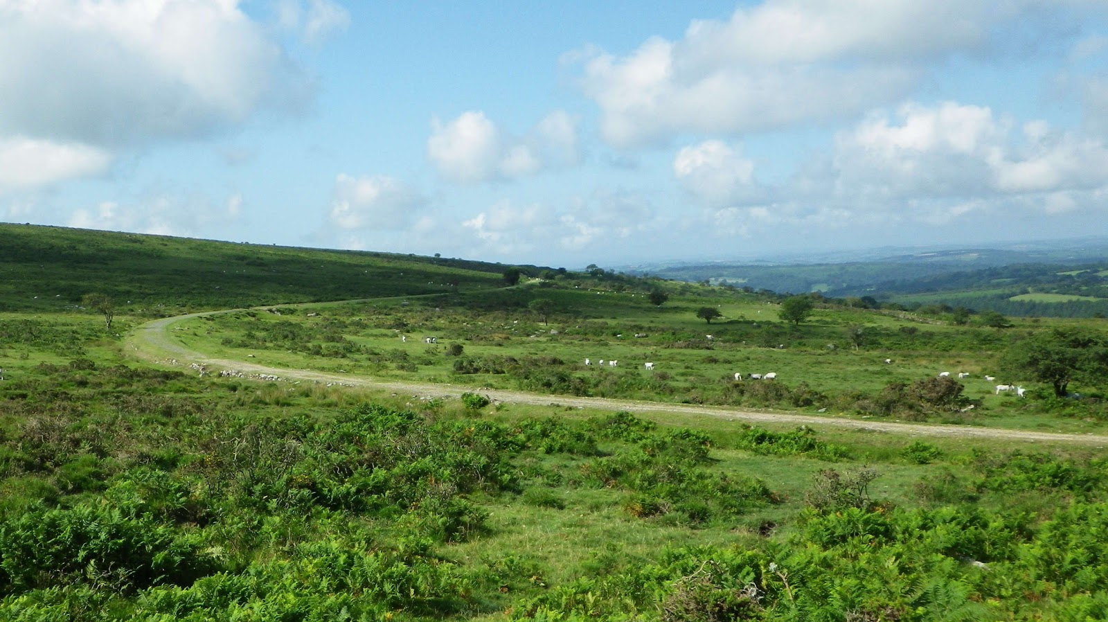
Across to Vixen and Staple Tors.
Then up the track that takes goes to the car park by Leedon Tor.
In the ground a slab of granite with this arrow on it. I have been along this track many times but not noticed this before. What is it pointing to?
Down around the woods to...
...Drakes Leat which we followed back to the road.
The view across to Hart Tor.
Into the woods...
...back on the railway track.
Where the farmer was cutting hay - much later in the year than usual.
Back to Walkhampton Inn (the other way where it is not so narrow) to find Bud and Brian. Brian had a nasty fall on their walk. Excellent food in the Walkhampton Inn.
With Terry, Rosemary, Colin, Amber, Brian and Charlie.


The arrow is an Ordnance Survey benchmark used to survey height above sea level. There are dozens of them all over the moor. Have a look for the one on High Willhays next time you're up there. There are a few brass fundamental benchmarks in the form of a brass disc set into the rock around too. Pew Tor is the nearest.
ReplyDeleteAt first sight it looked like a DCP prison bounds marker, but Leeden Tor is too far out of the way.
Surprised Terry didn't know all this!
Many thanks for that - much appreciated!
ReplyDeleteNo problem. Just let me know if there's anything else you'd like to know.
DeletePaul
I am aware of what it is but didn't know anything about this photo until I saw the blog as I was ahead on the track when it was taken and missed the discussion.
ReplyDeleteTerry
Just a light-hearted aside, Terry. I'm sure you knew all about them ;-)
ReplyDeleteBest wishes to Brian. Hope no after effects after his trip. Joe
ReplyDelete